Kai Sonder, CGIAR GIS geek extraordinaire, alerts us to the release of a couple of cool new global geospatial datasets, on roads and urban expansion. You need GIS software to get the full benefit of these, but at least for the city one some of the data ((present extent of urban areas, but not the changes in time, as far as I can see.)) are available in KML format. This is what you get when you map in Google Earth Yerevan’s present extent together with the location of wheat germplasm accessions from Genesys.
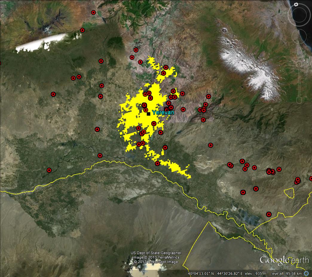
Clearly some of those samples must have been collected a while back, when the city was perhaps smaller. And this is what you get when you map Armenia’s roads, again with wheat, but this time in DIVA-GIS.
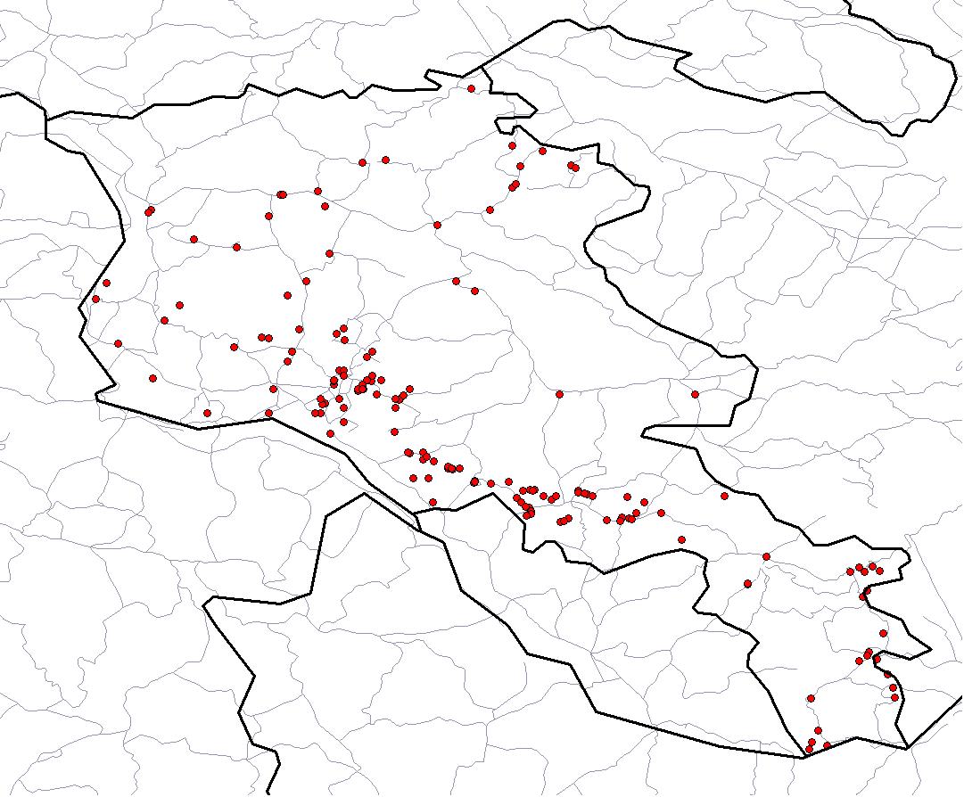
A nice enough illustration of a bias towards collecting germplasm near roads that has been looked at in quite a lot of detail in another part of the world. But I just can’t help thinking these resources should be easier to play around with. Especially together.
LATER: Spurred on by Cedric and Jeremy, let me spell it out in more detail. What I would have liked is for both datasets to be available in their entirety in a format allowing easy upload to Google Earth. You will tell me that if you’re really, seriously interested in analyzing these datasets, together with others (like that Armenian wheat stuff from Genesys, say), you can do it by downloading the shapefiles, which is the standard format for such things, and opening them in any decent GIS software. And you’d be right. But isn’t there another kind of user? The one who wants to just, well, play around. Maybe even as a preliminary to more serious analysis, but initially just play around. That user is not well served by these resources. I know because I am that user, and I don’t feel well served.
What do you mean by ‘easier to play around with’? Is it drawing a map to support decision? Send and share a subdataset or a screenshot in jpg? Filter or rectangle select displayed vectors? Or do you mean it would be great to have a one-stop webpage to pick and choose the necessary datasets for your project, to be opened in your GIS at a later time?
You know first hand how poor geospatial analysis is when done over the free web. The datasets you link to are all available as shapefiles. Download them, start your favourite GIS and do your thing. Just like you wrote.
So what then, with all due respect, is the meaning of your last comment?
‘Easy GIS’ is a myth.
All of the above.
Just kidding :)
What I meant is that it would have been nice if both datasets had been available in their entirety in a format easily imported into Google Earth. I have no idea if that is even technically possible. But it would have been nice for the average user like me. I think.
True. SEDAC can and should have the Global Roads dataset released as KMZ. And playing around with maps will get much more fun soon, I hear: http://www.theonion.com/articles/new-improved-google-maps-lets-user-launch-missile,32619/
maybe it is a myth, but it shouldn’t be. If I was a young GIS geek, I think I would concentrate on how to create online applications for the non-expert.
You don’t have to be young …
Now there’s an idea…